Surveying System by UNICEF
An online surveying system
Project overview
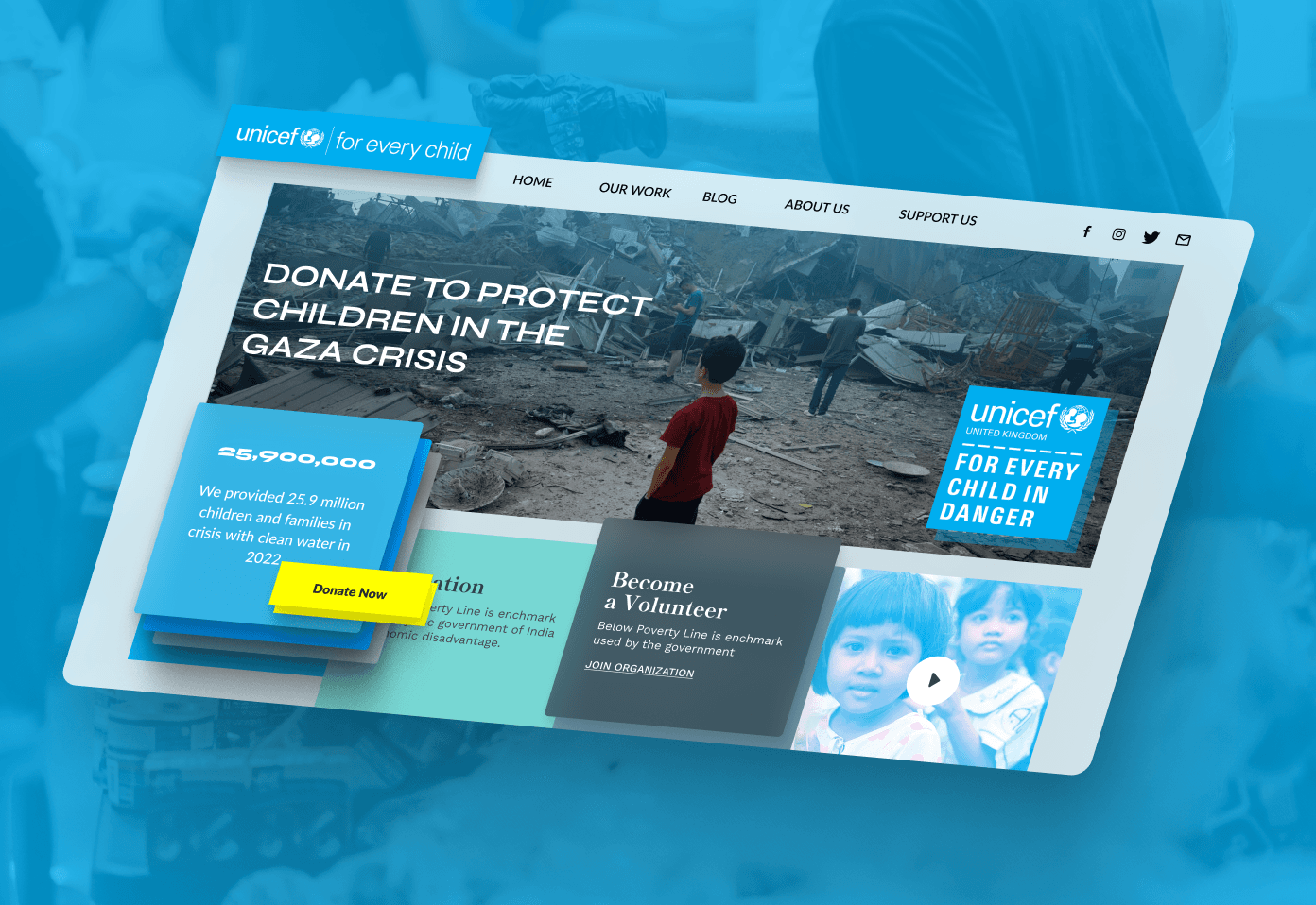
Surveying System by UNICEF is An online surveying system Build and improve the surveying system for UNICEF Built with high standards for performance, security, and intuitive user experiences, the platform is engineered to support mission-critical workflows and seamless scale.
What was the problem or pain point
Client Dilemma & Technical Bottleneck
UNICEF field researchers and public health officers deployed in crisis zones and developing nations needed to collect geospatial health, nutrition, and water infrastructure data across thousands of remote villages. Existing commercial surveying tools lacked reliable offline support, could not handle complex hierarchical skip-logic survey branching, and failed to record GPS coordinates without active cellular towers, causing incomplete or corrupted datasets that delayed critical humanitarian aid shipments.
What we suggested to the client
Solid Sphere Architectural Recommendation
Solid Sphere recommended building a bespoke, resilient GIS surveying platform with deep offline capability, multi-tier survey authoring, and automated background data reconciliation. We proposed combining local browser storage with vector map caching, allowing enumerators to fill out multi-thousand question assessments, pin coordinates on offline topo maps, and record audio/photo evidence with automatic client-side compression.
What made this project challenging
Collecting mission-critical public health and sanitation data across remote, disconnected villages
Supporting complex conditional logic survey questionnaires with multi-language voice prompts
Ensuring tamper-proof data validation with GPS location verification and time-stamped entries
Aggregating field survey data into national-level epidemiological dashboards for policymakers
What was implemented and how it was implemented
Step-by-Step Technical Execution
We built a responsive web and tablet application using Vue.js, implementing a dynamic survey renderer capable of evaluating nested conditional skip logic in sub-millisecond time. We utilized IndexedDB and local web storage to retain complete survey forms, audio recordings, and geotagged images directly on field tablets. For spatial mapping, we integrated Leaflet with cached vector map tiles, allowing field workers to outline school boundaries and water points without an active connection. On the server side, a Node.js microservice architecture with PostgreSQL and PostGIS spatial extensions validates incoming geo-payloads upon reconnect, executes duplicate detection algorithms, and projects real-time demographic heatmaps for UN headquarters dashboards. The entire application was containerized with Docker to enable rapid deployment on local embassy servers or field command laptops.
How we delivered
Engineered offline mobile survey application capable of storing weeks of field data locally
Built dynamic questionnaire builder with conditional skips, skip logic, and validation constraints
Integrated GIS mapping tools for geospatial analysis of water quality and healthcare access
Developed interactive analytics dashboard visualizing disease outbreaks and resource allocations
What did we use to implement it
Technology Stack & Technical Rationale
Vue.js was selected for its lightweight footprint and reactive component model, which ensured fast UI re-renders on low-spec field tablets. Node.js provided asynchronous non-blocking ingestion of batched survey data. PostgreSQL with PostGIS provided spatial indexing, polygon intersections, and coordinate transformations necessary for UN GIS analysts. IndexedDB powered client-side storage, and Docker enabled reproducible containerized deployments in humanitarian response centers worldwide.
Key outcomes
Over 500,000 field surveys completed across 12 countries
Zero data loss in low-connectivity remote regions
Reduced survey data compilation time from months to hours
Directly informed UNICEF humanitarian aid distribution
Have a project like this?
Share your goals and constraints. We'll respond with next steps and a practical proposal.